Donner Lake Rim Trail
 Donner Lake Rim Trail
Trail Description.
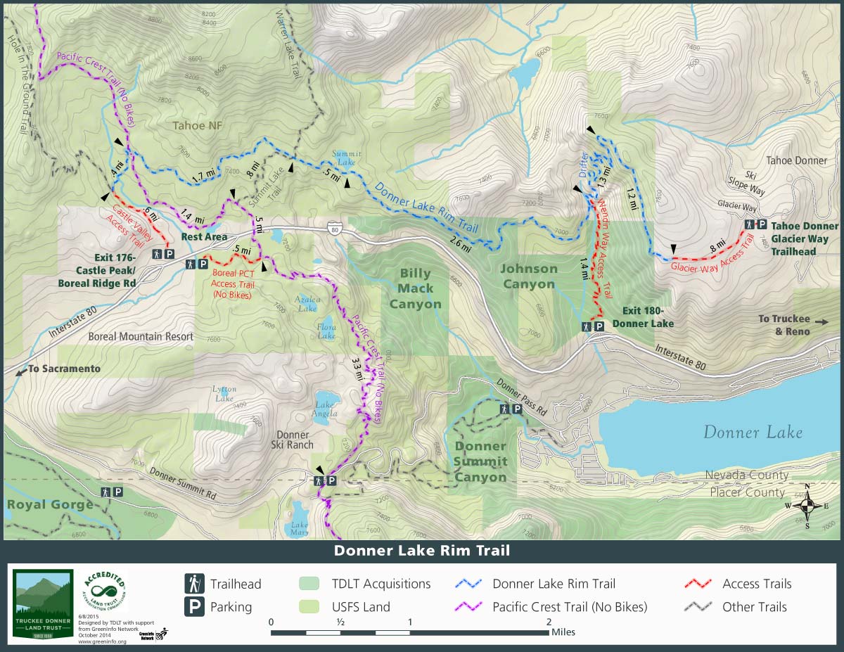
This trail is being built by the Truckee Donner Land Trust with volunteer labor. When complete, the Donner Lake Rim Trail will offer trail users a 23 mile loop through the high country surrounding Donner Lake. Currently 15 miles are complete, with 9 of them open to bicycle use. Here are a few suggested day trips:
- For bikers: Drop a car at the Soda Springs Trail head for the Hole in the Ground Trail, and begin the Donner Lake Rim Trail from the Glacier Way Trailhead in Tahoe Donner. At Castle Valley Road, turn right, and proceed up this road to the junction with the Hole in the Ground Trail. This ride is almost 20 miles (one way) of technical single-track bliss!
- For hikers: This hike is accessed from the PCT trailhead on Donner Summit. A very popular day hike or run is to head north on the PCT until it junctions with the Summit Lake Trail. Proceed East on this trail until it Junctions with the Warren Lake Trail and Donner Lake Rim Trail. Proceed west on the Donner Lake Rim Trail until it junctions with the PCT. Turn left (south) onto the PCT, and head back to the trailhead. Physical Challenge: moderate. Distance: @ 5 miles
- For all trail users: Often overlooked because of its proximity to I-80, and its appearance as offering little shade, is Johnson Canyon. Prepare to be surprised! This canyon has nice shady spots, aspen groves, lots of wildlife, and great sections of the Donner Lake Rim Trail. Johnson Canyon is located off the Donner Lake Interchange. The trail begins, and at this point is called Wendin Way, just behind the gate, located about 100 feet behind the Donner Lake Rim Trail kiosk. Turn left on the trail, and begin a gentle climb for about 1.5 miles, to the junction with the actual Donner Lake Rim Trail. A right turn here will take you up a series of switchbacks to Donner Ridge, offering spectacular views as the reward for a very stiff climb. A left turn will take you through often open country with great views, and on to Summit Lake (about 3 ½ miles further.)
Difficulty.
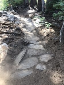
Moderate to difficult for mountain bikers; moderate for hiking.
Directions to Trailhead.
There are currently three:
- From Downtown proceed west on Donner Pass Road. Turn right on Northwoods Boulevard and proceed straight ahead through the red flashing light at the top of the hill. After a couple of miles, turn right on Fjord, and then left on Alder Creek Road. Take the next left, which is Skislope drive, and head up the hill. Turn right onto Glacier Way, and then make an immediate left into the Tahoe Donner Trailhead parking lot.
- The Donner Lake Rim Trail can be accessed at Donner Summit: Hikers and equestrians can use the Pacific Crest Trail, and mountain bikers can access the trail via Castle Valley Road.
- Johnson Canyon: From Truckee, proceed west on interstate 80 for about 4 miles, to the Donner Lake Interchange. Proceed down the off ramp, and make a right turn onto a dirt road. The parking lot is on the right, marked with a trailhead kiosk.